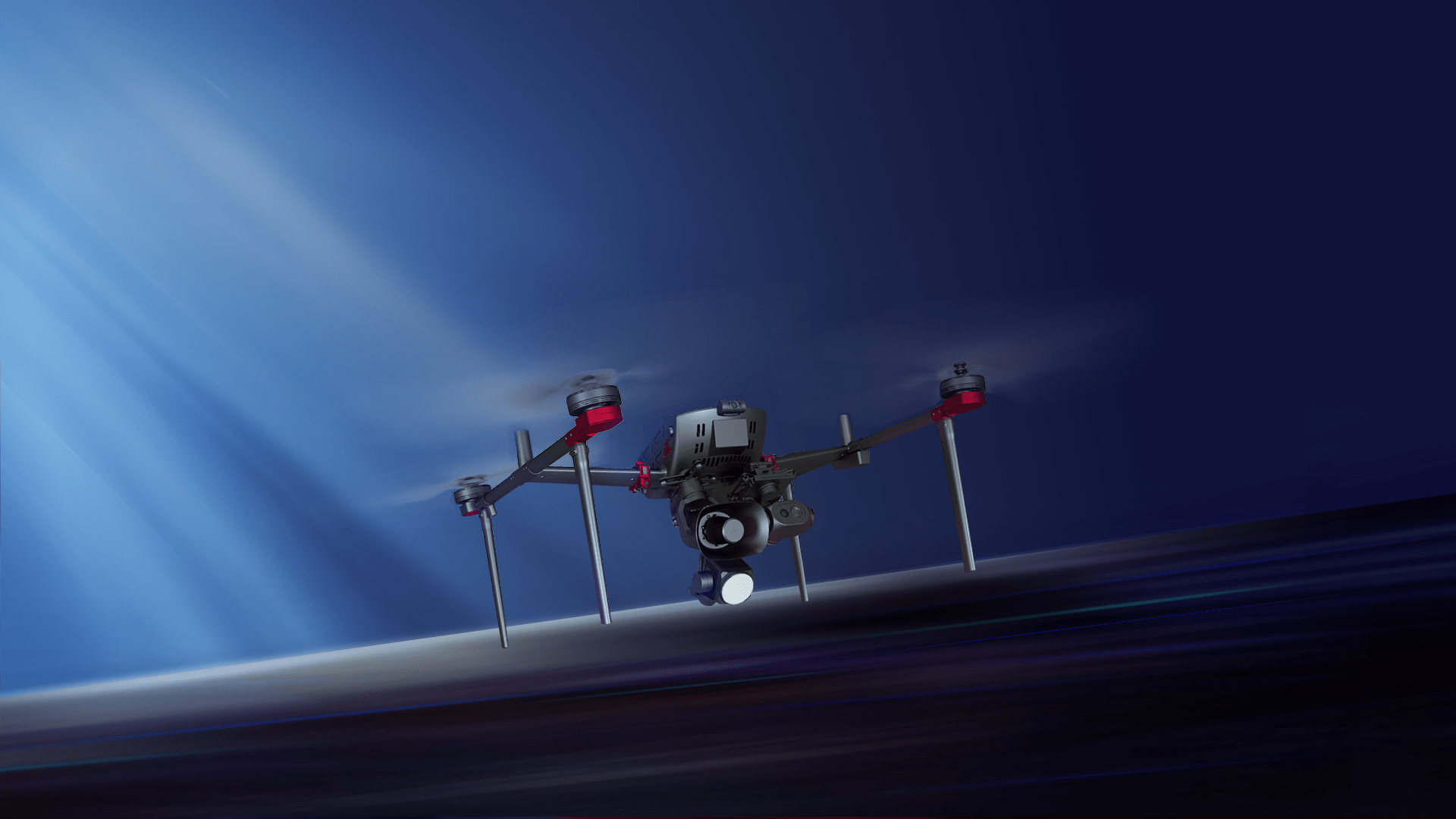
D500
飞马智能航测/遥感/巡检/应急系统
领航新产品
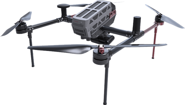
整机采用高强度T700碳纤一体式流线型设计,机身和电机均采用自吸散热结构,集成高精度差分GNSS板卡、TOF传感器、毫米波雷达、视觉感知系统,核心传感器均冗余备份,行业应用更从容。

60MIN
超长续航

10KM
图传距离

-20℃~50℃
工作温度

避障
毫米波雷达

定位
视觉导航

载荷
可互换
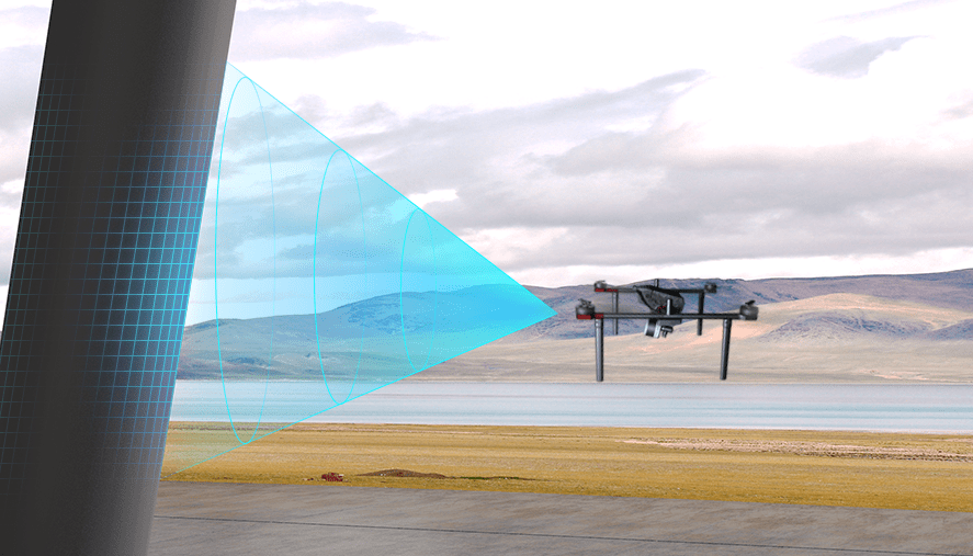
Automatic obstacle avoidance
By utilizing FPV monocular depth technology and millimeter-wave radar technology, the system can effectively identify large objects such as buildings and mountains, as well as small objects like high-voltage power lines, ensuring the safe flight of unmanned aerial vehicles.

Mobile takeoff and landing
By utilizing image matching technology, real-time calculation of the deviation between the landing position of the drone and the takeoff point is achieved, enabling precise takeoff and landing on moving platforms such as ships or vehicles.
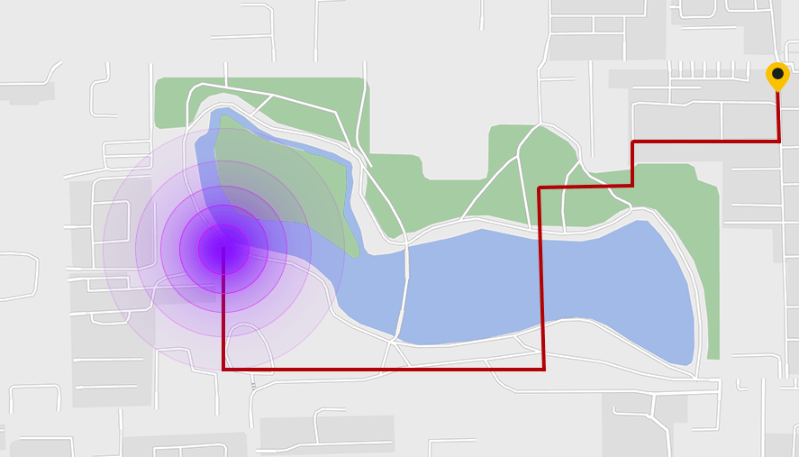
Visual return-to-home
The aircraft continuously builds a map of the surveyed area in real-time. When GPS signals are disrupted, the aircraft automatically plans a return path and activates visual navigation for positioning. It controls the aircraft to return to the takeoff point.
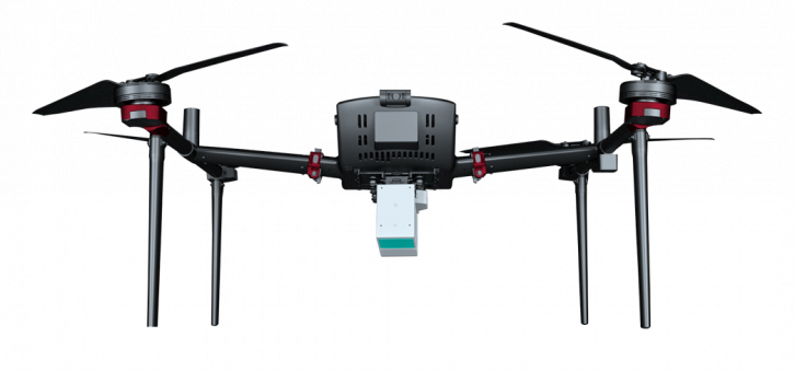
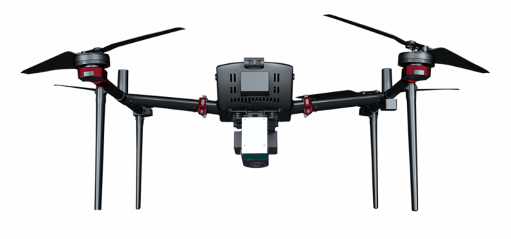
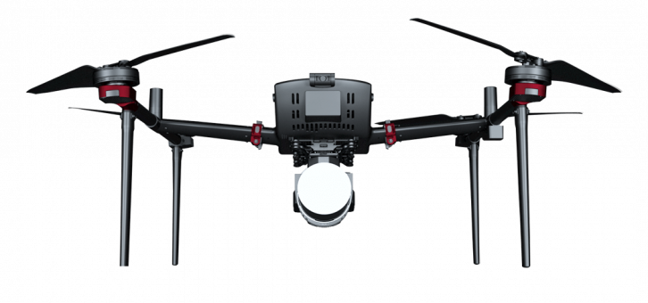
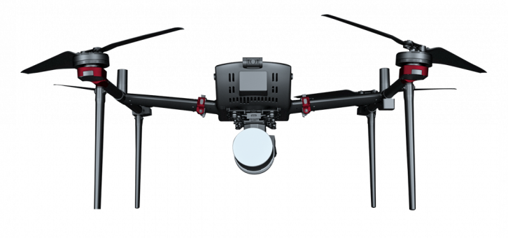
多载荷互换
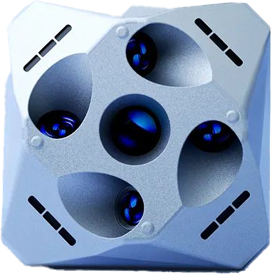
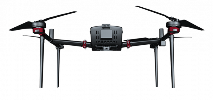
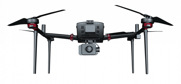
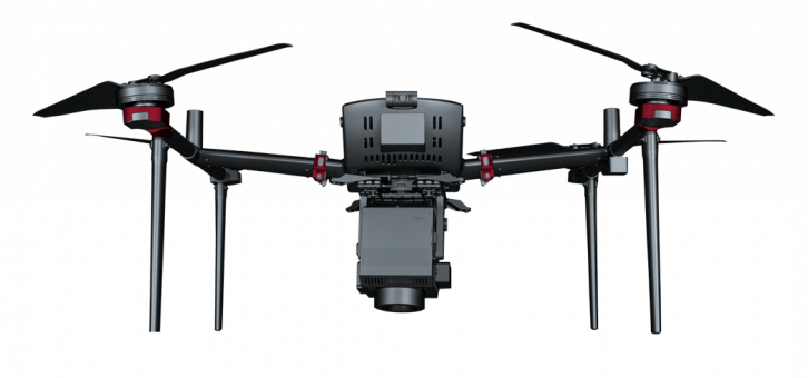
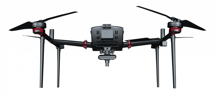
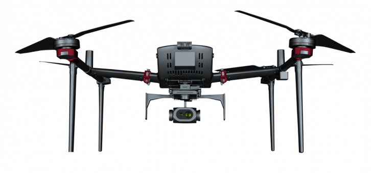
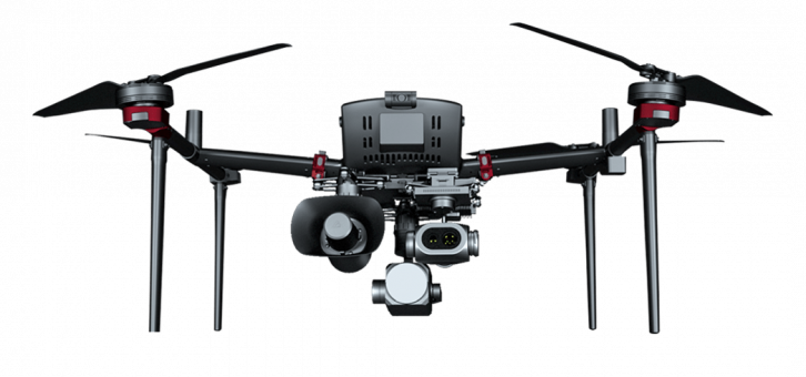
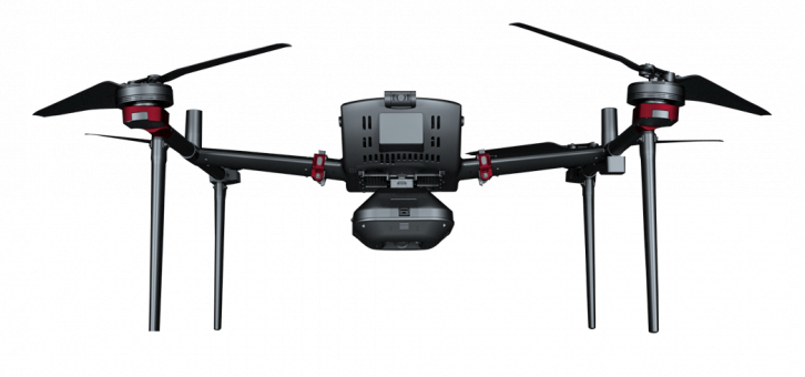
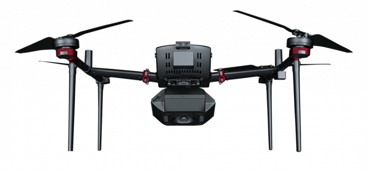
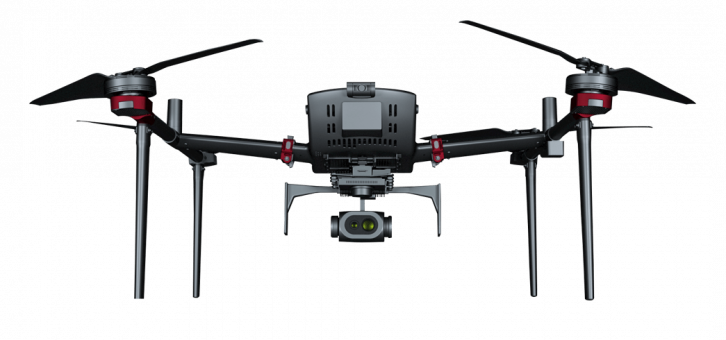
D500延续模块化设计,搭载航测模块、倾斜模块、激光模块、多光谱模块,可满足传统航测、实景三维、遥感监测应用;此外换装可见光视频模块、热红外视频/遥感模块、喊话器、照明、等应用载荷,可满足航测、遥感、应急、电力巡线等行业需求。

应用领域
测绘遥感
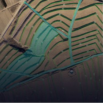
高精度地形测绘、高精度三维建模、遥感监测

公共安全
交通疏导、区域安保

应急救援
灾害评估、灾情巡检、山岳救援

森林消防
林业巡护、火情巡检、余火巡检

电力巡线
通道巡检、配网巡检、精细化巡检

环境保护
河道巡检、排污巡检、河岸违建巡检


