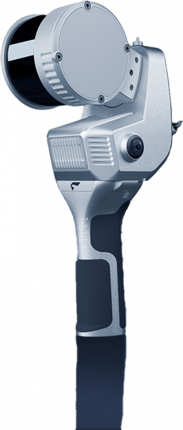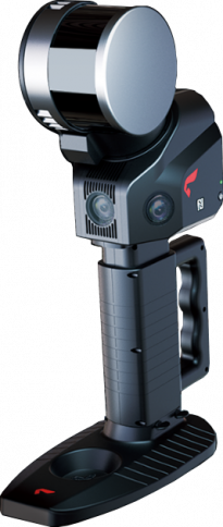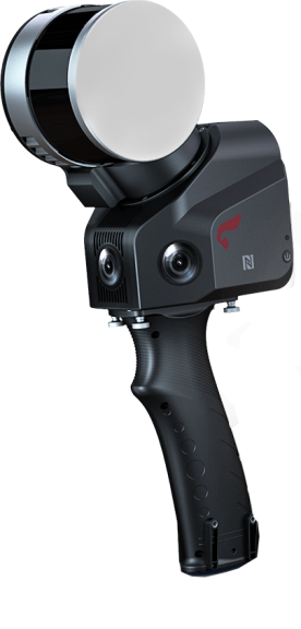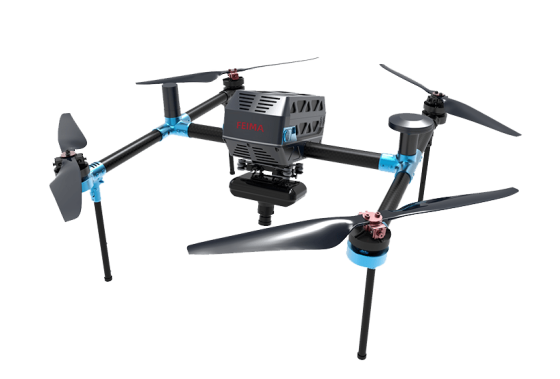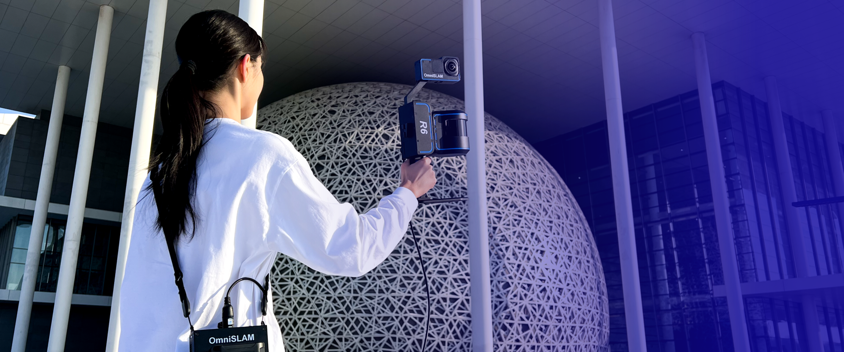
The R6 generates full-space high-definition true-color point clouds, enabling component-level content extraction and mapping.
The R6 does not require careful, steady, or slow scanning. Even with various scanning movements in operational scenarios, it can still deliver high-quality point cloud results.
- Jogging
- Arm swinging
- Rotation
- Inversion
Dual-screen interaction between panoramic images and color point clouds
The R6 features synchronized dual-screen interaction between panoramic images and color point clouds, allowing users to simultaneously view the same scene elements in both the point cloud and panoramic imagery.
Real-time point cloud display
The R6 supports real-time point cloud model display during operation, allowing operators to plan their movement paths effectively and fully scan the project site.
No repetition, no omissions, and prevention of rework.
Precise color point clouds enable efficient mapping and measurement processes
The R6 utilizes LIO-PANO LiDAR and panoramic camera multimodal fusion online coloring technology, ensuring precise color assignment for point clouds. The color point clouds are accurately integrated with the laser reflectance intensity point clouds, allowing operators to achieve consistent mapping results in the color point cloud as they would in the intensity point cloud.
Removal of dynamic objects
The R6 supports point cloud cleaning, automatically removing cluttered point clouds such as moving vehicles. Even in busy highway scenes, it can still deliver clean and organized point clouds.

