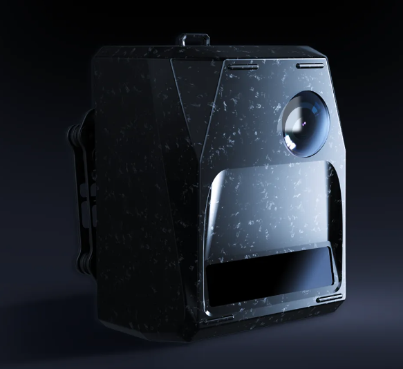
Feima Robotics D-LiDAR800
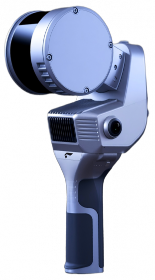
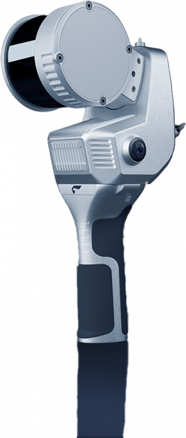
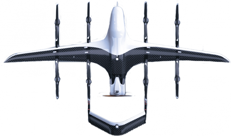
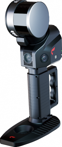
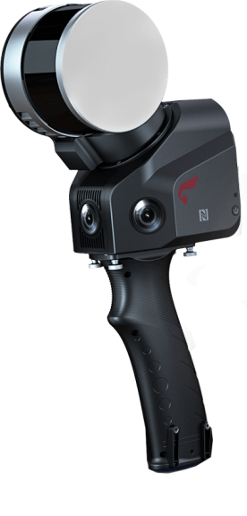
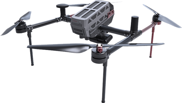
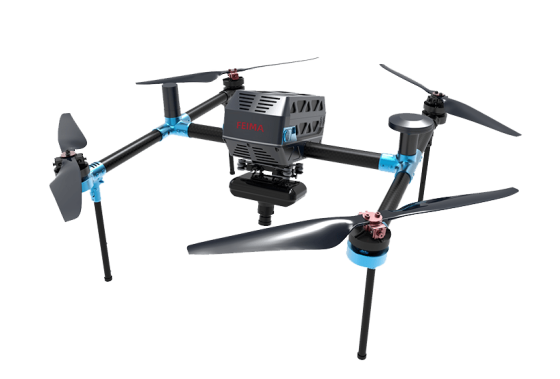
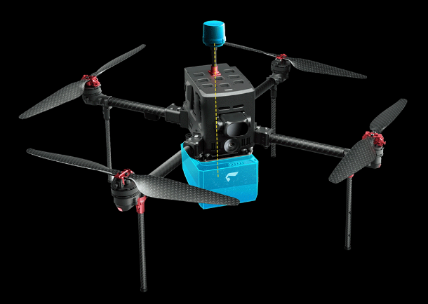
The D-LiDAR800 is Feima Robotics’ first compact, high-precision LiDAR payload. Relying on feima self-developed high-precision IMU and high-performance mapping camera, it integrates a 1550nm wavelength single-line scanning laser with a ranging accuracy of 5mm, achieving significant performance breakthroughs and redefining “lightweight” LiDAR payloads. This payload can be mounted on Feima D2000S, D5000, and higher-load rotorcraft platforms for operation.
As the “performance ace” product among Feima’ compact LiDAR payloads, the D-LiDAR800 offers users a higher level of precision, reliability, and ease of use.
Key Parameters



Highly Integrated
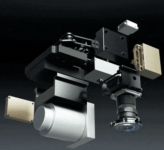
The D-LiDAR800 adopts a highly integrated design, with all sensors developed as a unified system. This results in a smaller overall size and weight while significantly improving stability. The entire payload weighs only 1.2kg, making it compatible with Feima D5000 and D2000S lightweight aerial platforms for data acquisition.
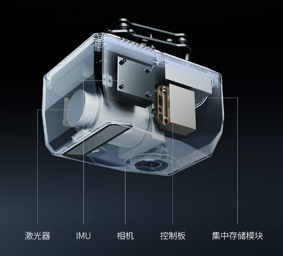
The system utilizes a centralized storage module, where all necessary data for processing—such as laser, imagery, IMU, GNSS, and calibration reports—are stored in a single module. This design ensures streamlined operation and enhanced efficiency.
High Precision and Detail
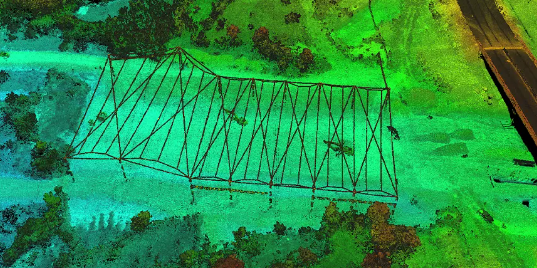
The D-LiDAR800 features a 0.5 mrad laser divergence angle, resulting in smaller laser spots for detecting surface features. This significantly enhances its ability to capture fine details and provides more precise and complete feature detection.

This characteristic makes the D-LiDAR800 excel in highly detailed application scenarios, such as power line inspection and architectural surveying, delivering more comprehensive and accurate measurement results.
High Point Frequency
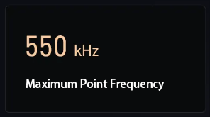
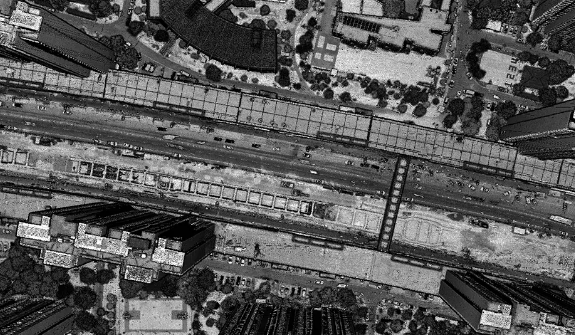
The D-LiDAR800 supports an ultra-high point frequency of up to 550kHz, ensuring dense and detailed point cloud data acquisition. This makes it highly effective for applications demanding precision and high-resolution data, such as power line inspection and road surveying.
Professional Mapping Camera
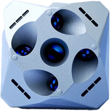
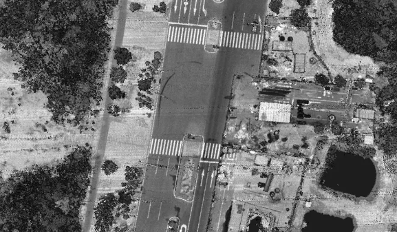
The D-LiDAR800 payload is equipped with Feima self-developed APS-C format camera, featuring a mechanical global shutter and a custom 16mm lens. It offers advantages such as minimal lens distortion, excellent image quality, and high color fidelity, meeting the requirements for orthophoto imaging and stereoscopic mapping production. Integrating Feima highly compact product design concept, the payload supports one-click data transfer and automatic Exif metadata writing, including real-time differential POS data embedded directly into images, enabling high-precision mosaicking and streamlined post-processing.

High Accuracy
The D-LiDAR800 is specifically designed for high-precision aerial surveying. It features a laser with a 5mm repeat ranging accuracy and 0.001° angular accuracy, combined with Feima self-developed high-precision IMU and a mechanical global shutter camera. These advancements significantly enhance the accuracy of UAV-based aerial surveying.
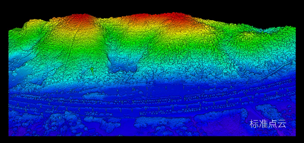
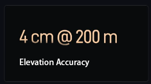
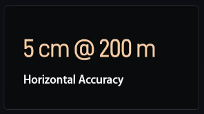
At a flight altitude of 200 meters, the D-LiDAR800 ensures an elevation accuracy of better than 4cm and a horizontal accuracy of better than 5cm. Additionally, it supports mapping without ground control points (GCPs), greatly improving operational efficiency and flexibility.


