


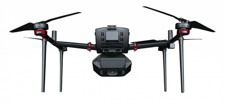
D500
Feima Intelligent Aerial Surveying/Remote Sensing/Inspection/Emergency System.
Pioneering new product
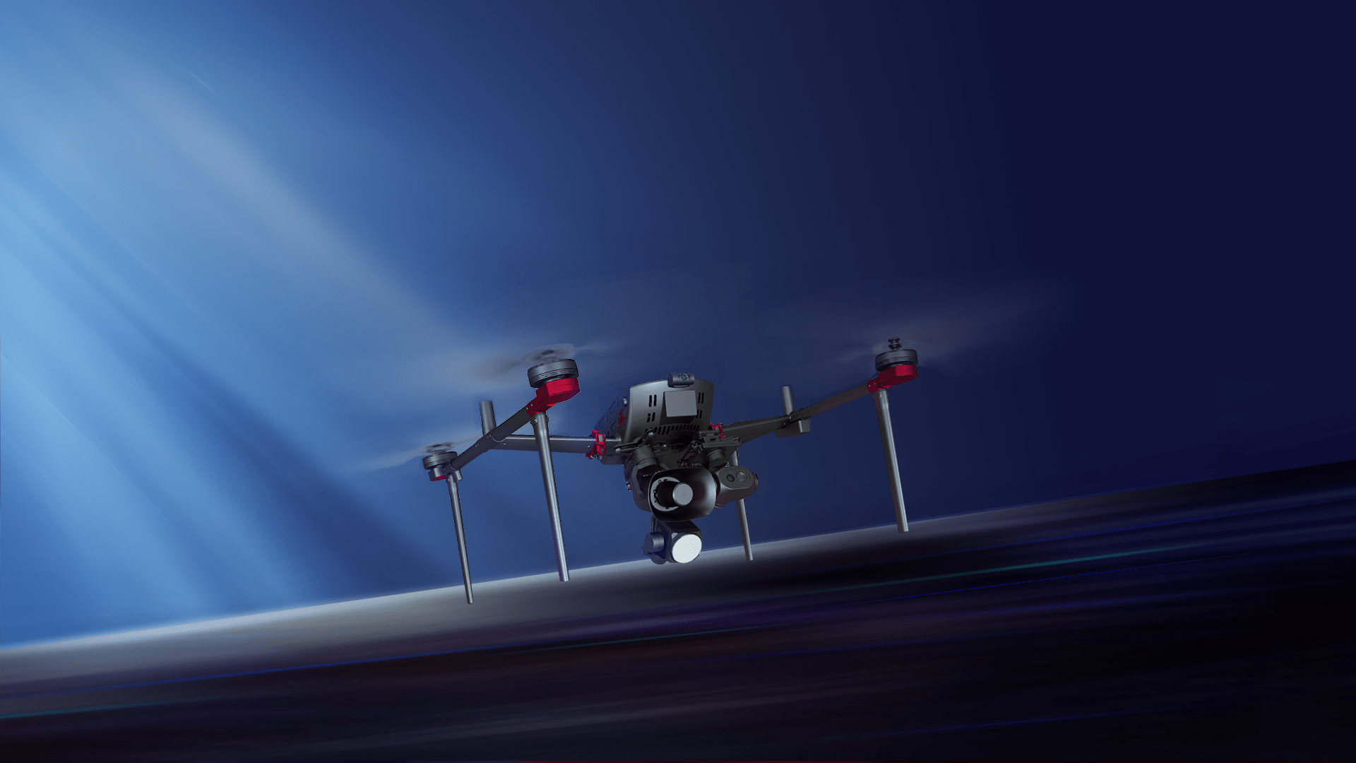
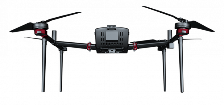
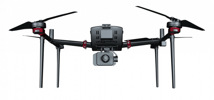
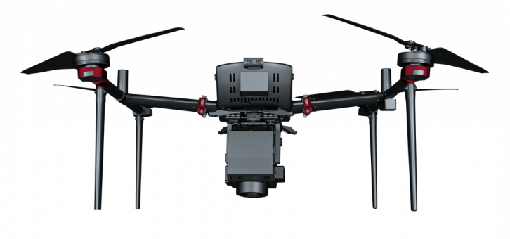
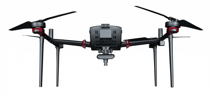
The entire machine adopts a streamlined design with high-strength T700 carbon fiber integrated structure. Both the fuselage and the motors utilize a self-cooling structure. It integrates high-precision differential GNSS board, TOF sensor, millimeter-wave radar, and visual perception system. The core sensors are redundantly backed up, ensuring more reliable performance in various industry applications.

60MIN
Ultra-long endurance

10KM
transmission distance

-20℃~50℃
Operating temperature

Obstacle avoidance
Millimeter-wave radar

Positioning
Visual navigation

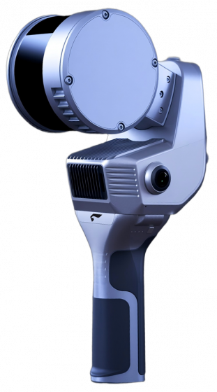
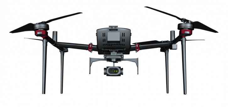
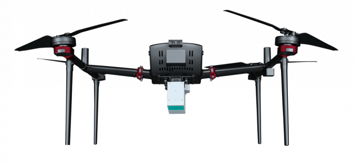
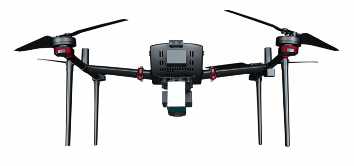
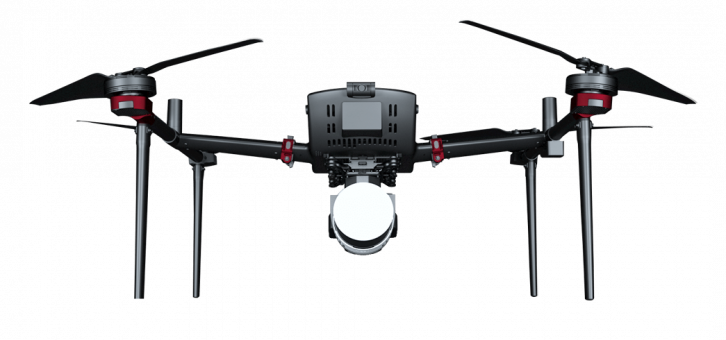
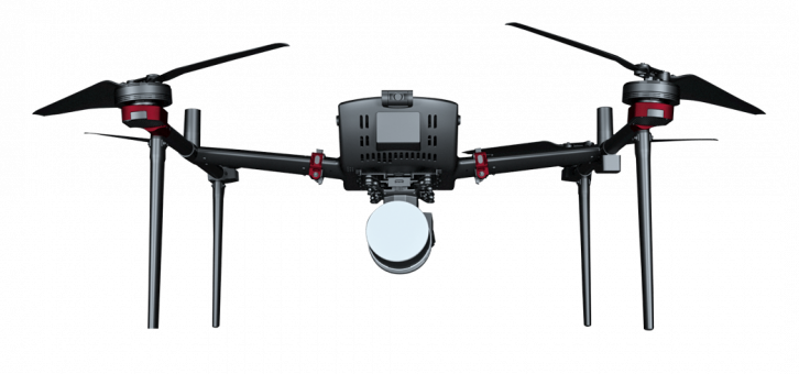
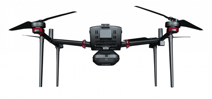
Payload
Interchangeable
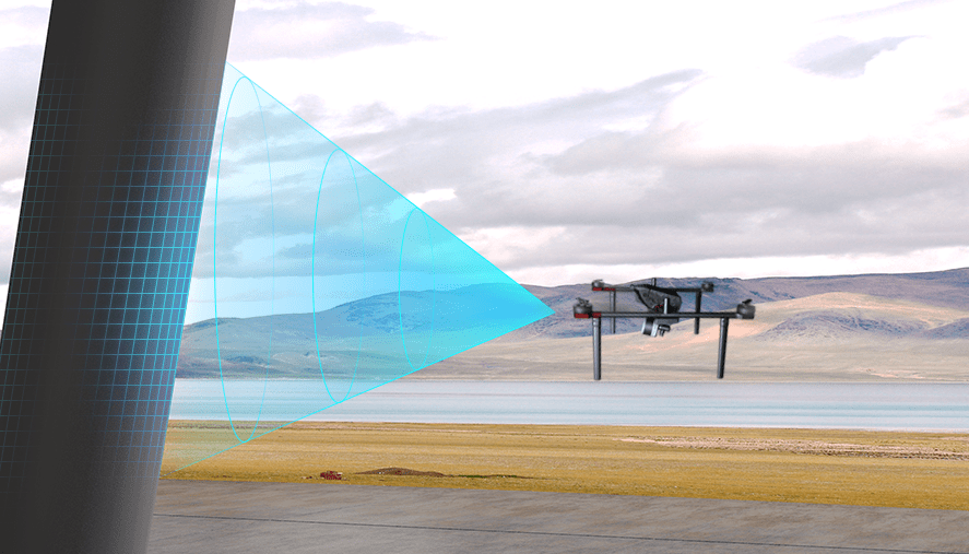
Automatic obstacle avoidance
By utilizing FPV monocular depth technology and millimeter-wave radar technology, the system can effectively identify large objects such as buildings and mountains, as well as small objects like high-voltage power lines, ensuring the safe flight of unmanned aerial vehicles.
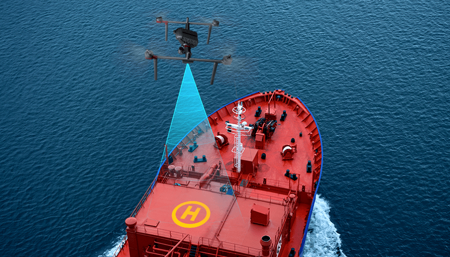
Mobile takeoff and landing
By utilizing image matching technology, real-time calculation of the deviation between the landing position of the drone and the takeoff point is achieved, enabling precise takeoff and landing on moving platforms such as ships or vehicles.
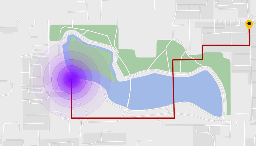
Visual return-to-home
The aircraft continuously builds a map of the surveyed area in real-time. When GPS signals are disrupted, the aircraft automatically plans a return path and activates visual navigation for positioning. It controls the aircraft to return to the takeoff point.
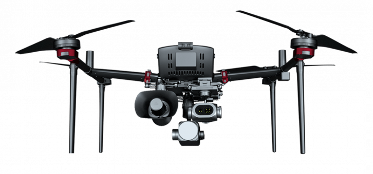
Multi-payload interchange
D500 continues its modular design and is equipped with aerial survey module, oblique module, LiDAR module, and multispectral module, catering to traditional aerial survey, photorealistic 3D, and remote sensing monitoring applications. Additionally, it supports interchangeable visible light video module, thermal infrared video/remote sensing module, loudspeaker, lighting, and other payload applications, meeting the needs of aerial survey, remote sensing, emergency response, power line inspection, and other industries.

Application Field
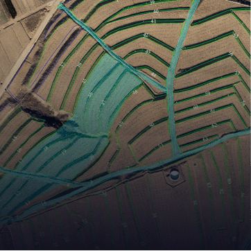
Surveying and remote sensing.
High-precision terrain mapping, high-precision 3D modeling, remote sensing monitoring

Public safety
Traffic control and regional security

Emergency rescue
Disaster assessment, disaster inspection, mountain rescue, water rescue
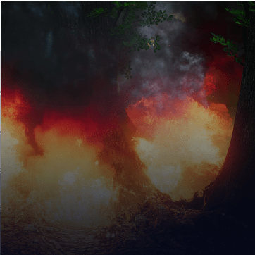
Forest firefighting
Forestry patrol, fire inspection, hot spot inspection
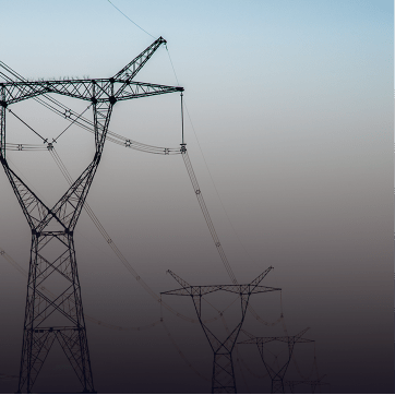
Powerline inspection
Corridor inspection, distribution network inspection, precision inspection

Environmental protection
River inspection, pollution inspection, riverside illegal construction inspection