SECURITY MECHANISM
AUTOPILOT

Sensor Failure Landing

Automatic Return-to-Home in case of Loss of Communication

GPS Loss Altitude Descend and Hover

Power-on Self-Test (POST)
- Model-Based Flight Control Laws
- Advanced Multi-Sensor Data Fusion Algorithms
- Redundant Sensor Design for Enhanced Flight Safety
- Real-time Fault Detection and Isolation (FDI) Algorithms
- High-Precision Attitude Measurement System
- Fully Automatic Mission Mode
- Efficient Embedded Software System with Modular Design, Supporting Multiple Payloads
- Support for Network RTK/PPK Services and their Integrated Operation Modes, Providing Centimeter-level Positioning Accuracy
VIDEO APPLICATION
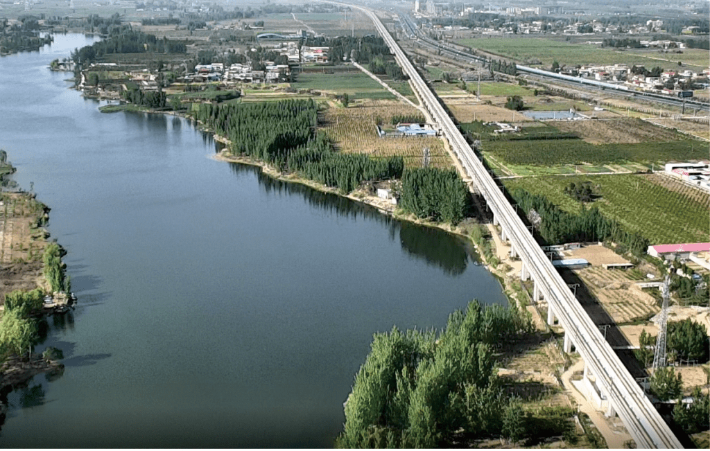
Visible Light Video
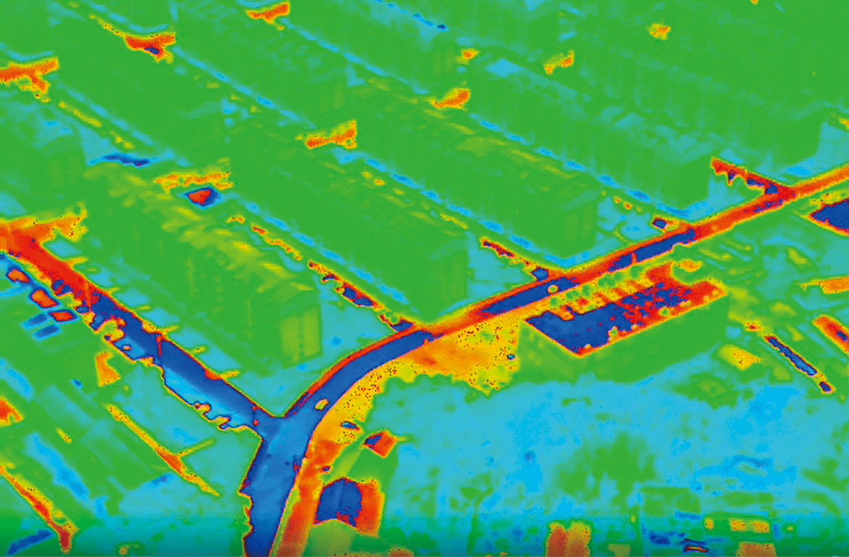
Thermal Infrared Video
Real-time Video Monitoring
real-time video transmission capability and supports various flight modes such as route inspection, point of interest focus, waypoint navigation, and real-time control.。
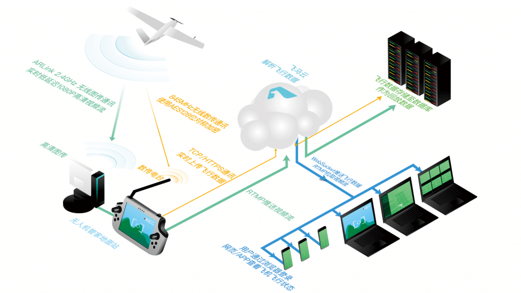
Remote Transmission
With the Feima Cloud-based remote transmission and real-time monitoring functionality, it is possible to remotely transmit and monitor the flight status and real-time video when connected to a network. The system also supports multi-terminal querying, monitoring, and device management capabilities.
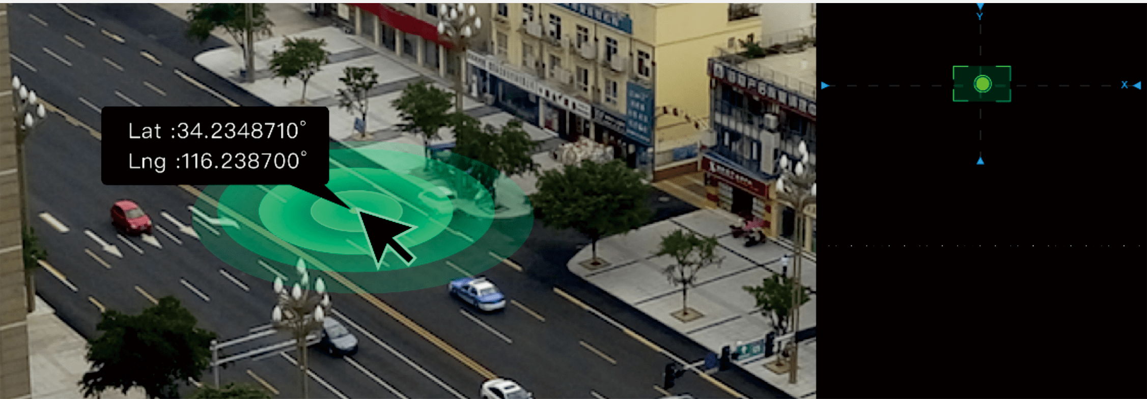
Coordinate Indication
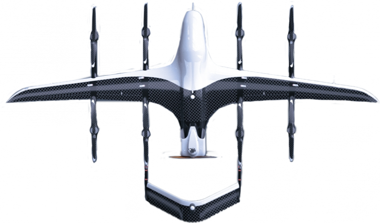
D20 is equipped with target indication functionality, which enables real-time calculation of coordinate positions. It can provide the latitude, longitude, and altitude information of the target point in the video window in real time.
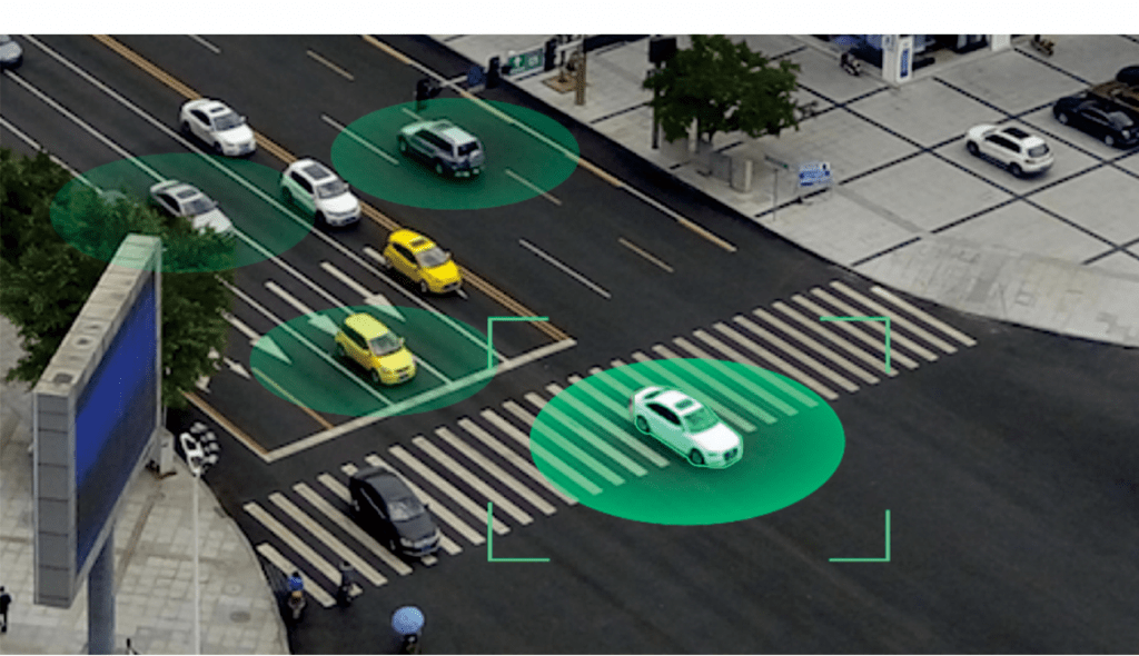
Automatic Tracking
The system incorporates intelligent target tracking functionality, which allows it to automatically lock onto a given target specified by the user and track its movement. It includes features such as target occlusion detection and the ability to recapture the target if it is lost. Additionally, in the circumnavigation flight mode, it can identify targets from different directions and track them accordingly.

RETROFIT AND UPGRADE PLAN
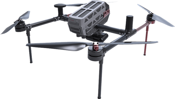
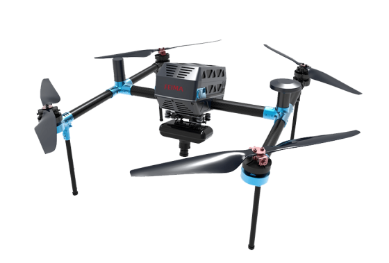
The Feima intelligent aerial survey/remote sensing/inspection/emergency systems V10 and D20 support retrofitting and upgrading of customer’s existing sensors, aiming to maximize the value of their current equipment and reduce cost investment. The specific plan is as follows:
Laser Sensor Retrofitting Plan
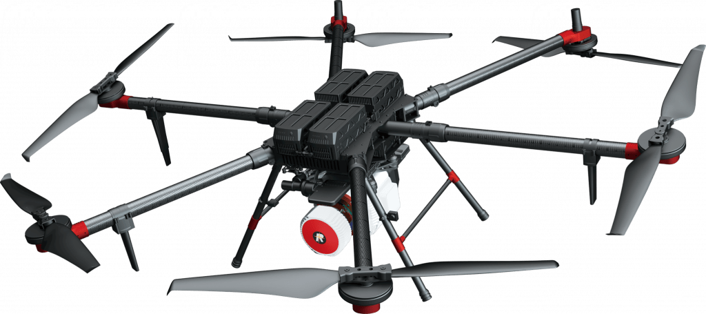
- The modification of laser sensor range:RIGEL VUX-UAV、RIGEL VUX-1LR
- Modification to increase accessories: structural components and fiber optic-grade IMU
- Modification to include standard software: Drone Manager Professional Edition software
- with measurement capabilities (supporting trajectory calculation, point cloud calculation, and point cloud post-processing).
- Optional service for modification: All-risk insurance for payloads.

Modification proposal for imaging sensors
- The range for modifying the imaging sensor includes the Phase One iXM-100 sensor.
- Modification to include accessories: structural components and high-precision IMU (Inertial Measurement Unit).
- Modification to include standard software: Drone Manager Professional Edition software with measurement capabilities (supporting differential calculation, DOM, and TDOM processing).
- Optional service for modification: All-risk insurance for payloads.

