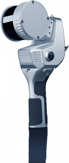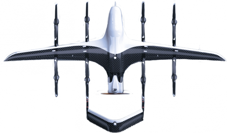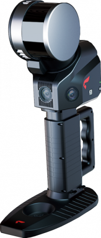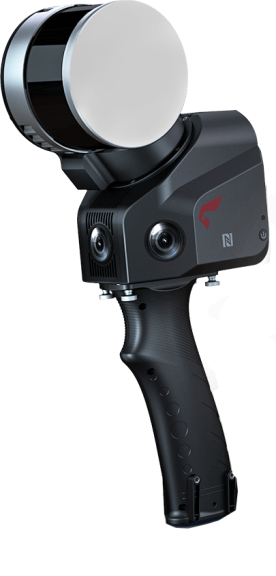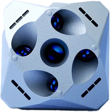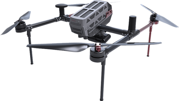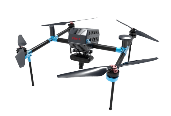
Guangzhou Tiance Information Technology Co., Ltd. was founded on January 12, 2017. It is a professional surveying and geographic information system integrator that combines sales and maintenance of surveying instruments, aerial survey software, real-time 3D software, line inspection system platforms, rental and sales of drones, drone surveying, drone law enforcement and evidence collection, and various measurement engineering.
The company specializes in sales of unmanned aircraft, training for indoor and outdoor aerial surveying, professional aerial surveying solutions, daily use and maintenance of unmanned aircraft. It is the only provincial-level agent of Shenzhen Feima Robotics Technology Co., Ltd.
As of January 1, 2019, the company has become the provincial-level agent of Shenzhen Feima UAV in Guangdong, specializing in the sales of unmanned aerial equipment and aerial surveying services.
The company has a sales service department, logistics and logistics department, and aviation service department.
The products sold by the company have won unanimous praise from customers and enjoy high reputation and status. The company has established long-term and stable cooperation with many domestic manufacturers, such as Guangdong Nuclear Industry Geological Survey Institute, China Communications Fourth Navigation Design Institute, South China Sea Institute of Oceanography, Shenzhen Survey and Design Institute, Shantou Chenghai Natural Resources Bureau, and Huizhou 756 Survey and Mapping Engineering Co., Ltd. Adhering to the principle of customer first, with a passionate and rigorous service attitude and the ability to efficiently solve problems, the company has won the praise of customers and achieved remarkable results.
The company has experienced technicians, perfect equipment, and a professional after-sales service team, and can quickly and efficiently provide services to customers.
Contact Info

