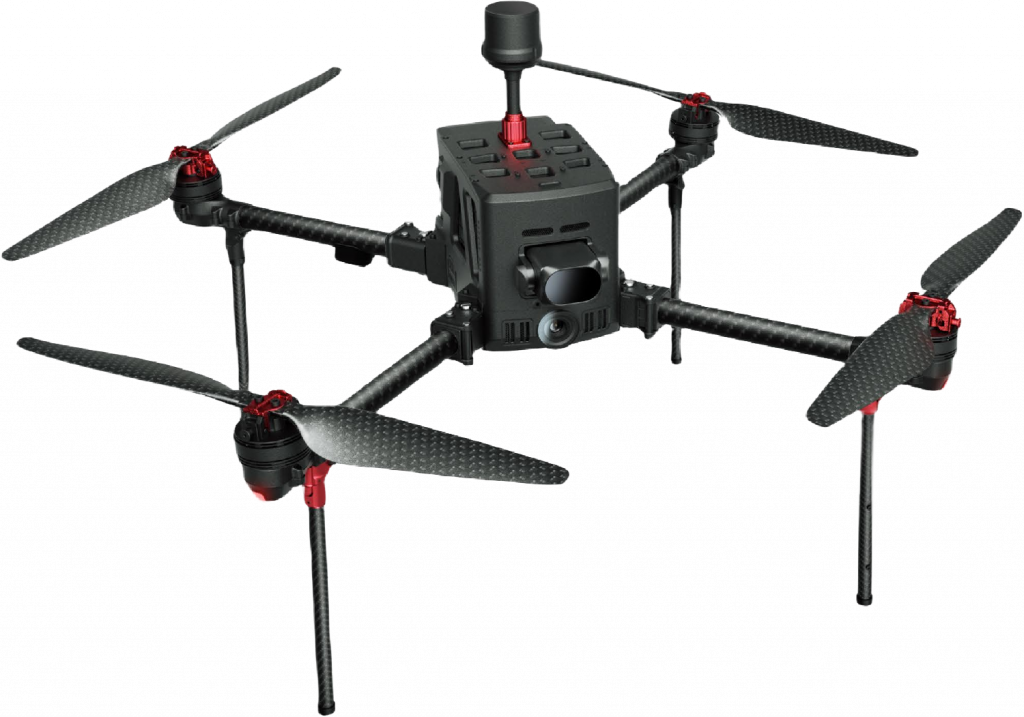
Feima D5000
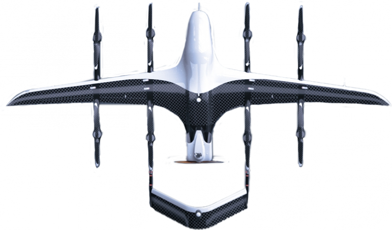
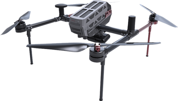
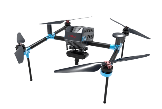
The Feima D5000 is a cutting-edge, lightweight, and long-endurance multi-rotor drone system. Equipped with high-precision GNSS and a range of advanced sensors, it excels in high-precision mapping, remote sensing, and video capture. With an operational endurance of 90 minutes per sortie, it ensures efficiency across diverse terrains and applications. Featuring modular payload options, including photogrammetric, LiDAR, and infrared modules, the D5000 can handle various data acquisition tasks. Its precise Time-of-Flight (ToF) flight control, obstacle avoidance, and cloud-based active services provide ultimate reliability and safety for surveying and monitoring operations.
system features
Image control-free topographic mapping
D5000 equipped with a 20Hz high-precision differential GNSS board, capable of large-scale surveying and mapping without image control
Multi-source data acquisition
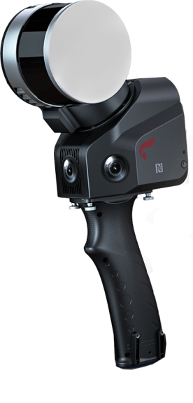
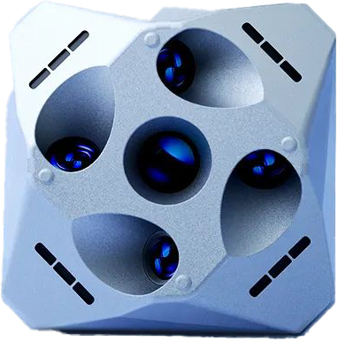
D5000 can be equipped with single-head photogrammetric module, penta-head oblique module, LiDAR module, thermal infrared remote sensing module, visible light module and related software solutions.
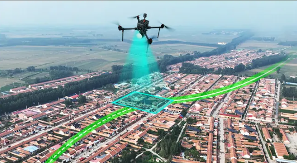
Precise ToF flight
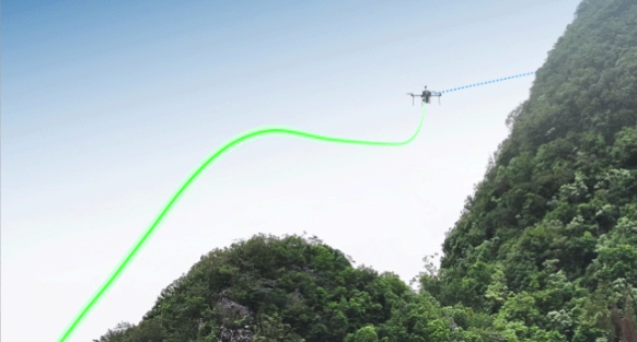
Relying on ToF and visual sensor, based on advanced flight control algorithm, D5000 can achieve precise terrain-following flight, ensuring both flight safety and consistence of image resolution.
Long endurance, high efficiency
The longest endurance of one sortie is 90 mins. With a well-designed flight route, higher operation efficiency can be achieved.

High reliability
five satellites with sixteen frequency signals

Force 6
Wind resistance

30KM
Long-distance data transmission

6000M
The maximum takeoff altitude.
Image-based landing
When landing at a different location or needing to switch landing points, the landing point can be updated using the image-based selection method.
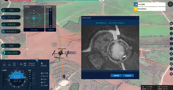
Visual SLAM navigation
Based on visual SLAM technology, safe return and landing of the aircraft can be achieved even in situations where GNSS is severely interfered with.
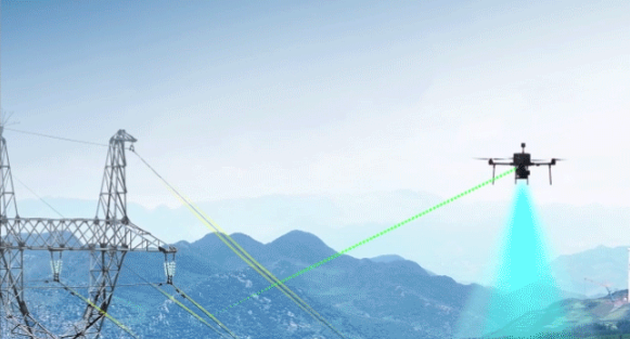
Long-distance ToF obstacle avoidance
The forward-facing single-axis ToF module has a measurement range of 180 meters, enhancing the detection capability for small obstacles such as power lines and wind turbine blades.
Autonomous terrain-following flight
The forward-facing ToF module can acquire real-time terrain data in the direction of flight. it enables precise autonomous terrain-following flight, ensuring flight safety and consistency in the resolution of captured images.
