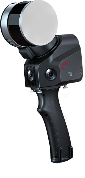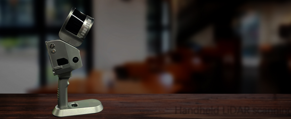
GS-120G 32-Canales
Escáner Lidar de mano
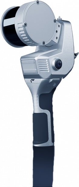
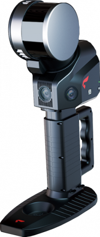
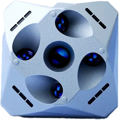
The GS-120G features a minimalist design, offering easy operation and flexible installation. supporting multiple platforms and modes, it is equipped with a 360° rotating head, allowing for a 270° x360° point cloud coverage. The device includes a high-definition camera and an RTK module. combined with industry-grade slam algorithms, it can seamlessly capture high-precision colored point cloud data of the surrounding environment both with and without GNSS support, without the need for external devices

Nube de puntos
coloreada en tiempo real

LiDAR rotativo
de 32 canales

Algoritmos eficientes
autodesarrollados

Compatible con RTK-SLAM
y SLAM puro

Software de procesamiento
de datos con un solo clic
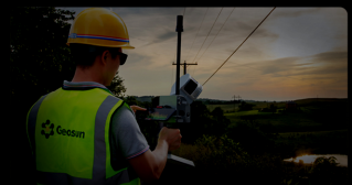
Nube de puntos en tiempo real para un control detallado
Vista previa de la nube de puntos coloreada en tiempo real

Los algoritmos autodesarrollados permiten realizar tareas de manera eficiente.
No se necesita un bucle cerrado y el sistema se apaga automáticamente después de completar la tarea.
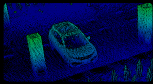
Posicionamiento continuo con RTK+SLAM
permitiendo la operación, ya sea que las señales GNSS estén disponibles o no
ESPECIFICACIONES
- Rendimiento general del sistema
- Rendimiento POS
| Absolute Accuracy | ≤5cm | Relative Accuracy | ≤1.5cm | |
| Battery Duration | 2h | Weight | 2.2kg | |
| Operating Temperature | -20℃~55℃ | Power Consumption | 25W | |
| Data Storage | 128G SD Card | Battery Capacity | 11600mAh (internal battery) | |
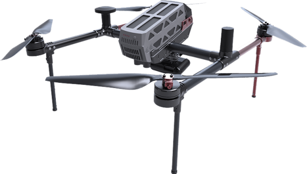
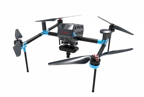
| Carrying Platform | Handheld/Backpack/Airborne/Vehicle | 19000mAh (External battery) |
| Position Accuracy | 0.02m horizontal, 0.03m vertical | GNSS system | GPS L1/L2/L5 GLONASS L1/L2; BDS B1c/B1/B2/B2a/B2b/B3; GALILEO E1/E5b/E5a |
|
| Pich/Roll Accuracy | 0.015° | |||
| Heading Accuracy | 0.040° |
| Measuring Range | 120m | Range Accuracy | ±1.5m | |
| Laser line Number | 32Line | Data dua echo | 1280,000 Points/Sec | |
| FOV | 270°×360° | |||
| Camera Resolution | 3×5 MP |
APLICACIONES
