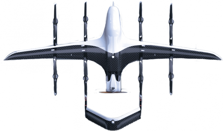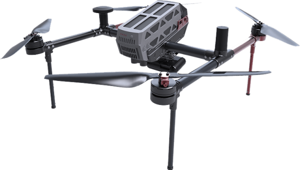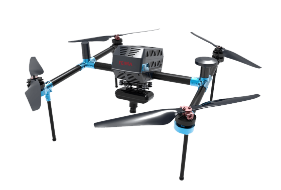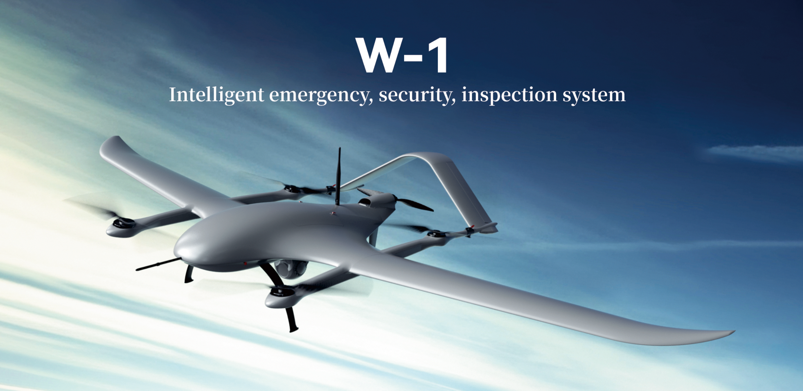
The w1 pure electric vertical take-off and landing fixed-wing UAV system is an aerial surveillance platform tailored for emergency, security, inspection and other industry applications.
The W-1 UAS is equipped with a Three-Light Pod, backpack portable ground station and handheld control terminal as standard, focusing on Mobility and Flexibility, Efficient Inspection and Lightweight and Portable. The main material of the aircraft is made of lightweight Kevlar & PMI composite material. The takeoff weight of the whole aircraft is 7.8kg, and the endurance can reach 150mins. The main structure of the fuselage platform adopts modularized quick-disassembly and folding design, which effectively reduces the assembly steps and improves operational efficiency.
System features
Ultra-light ultra-simple
Designed with a blended-wing body structure, utilizing Kevlar+PMI composite materials, equipped with smart batteries, the overall takeoff weight of the aircraft is only 7.8kg. The folding and quick disassembly combination makes the operation simpler and more efficient.
Ultra-long battery life
Adopting a coaxial rotor design to reduce cruise resistance, compatible with reusable D2000S and D3000S smart batteries, providing an extended endurance of 2.5 hours, ensuring effective aerial surveillance time.
Flexible and portable
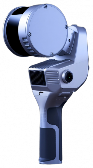
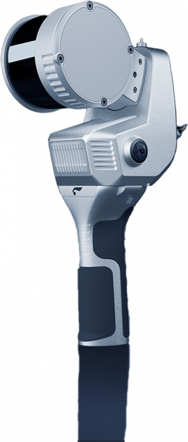
An innovatively designed backpack-style portable ground station, paired with a handheld control terminal, allowing a single person to easily transition and explore challenging terrains without hesitation.
Exceptional altitude ceiling
The W-1 can take off at an altitude of 4,000 meters and operate at an altitude of 5,000 meters. It has super ceiling monitoring capabilities and does not need to replace the rotor propeller.


Smart follow

Real-time stitching

Laser ranging

Precision positioning
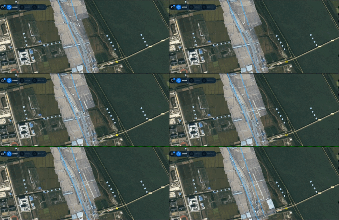
Real-time stitching
Based on the transmitted video images, frame extraction is performed, simultaneously correlated with UTC time and location information, achieving real-time stitching of a two-dimensional map
Aerial surveillance
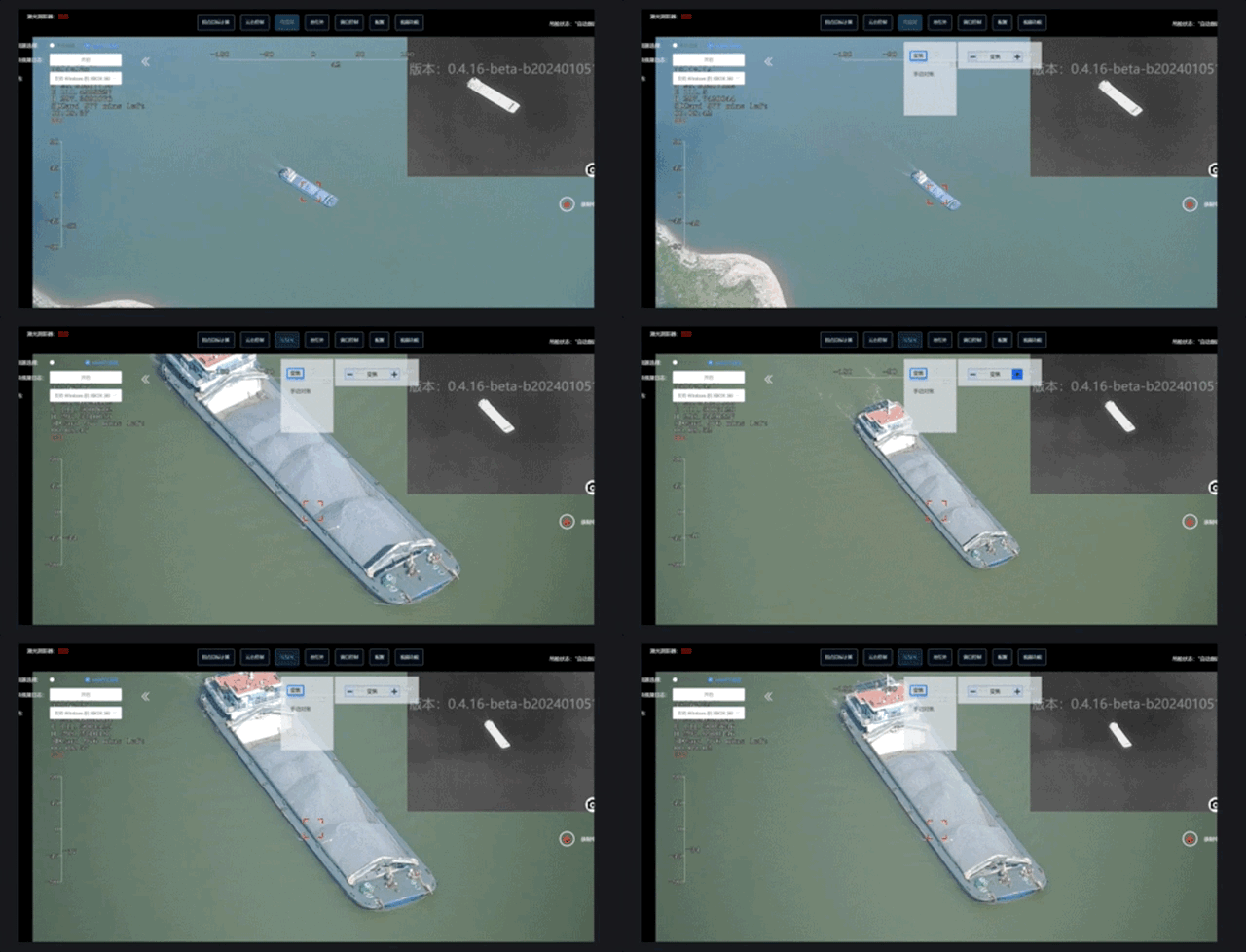
10x optical zoom + 3x digital zoom electro-optical pod, three-axis mechanical stabilization gimbal, providing more stable footage and richer details
Airborne relay
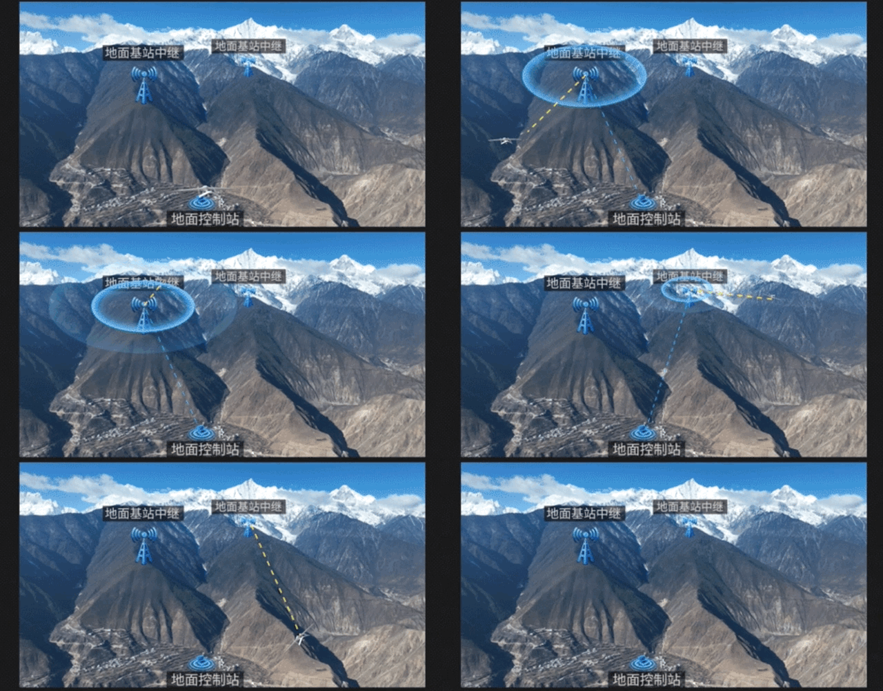
Supporting ground station relay and airborne relay solutions, the V500R can function both as a surveillance drone for monitoring tasks and as a relay node. This capability addresses communication challenges caused by complex terrain in mountainous areas, significantly extending the operational coverage radius.
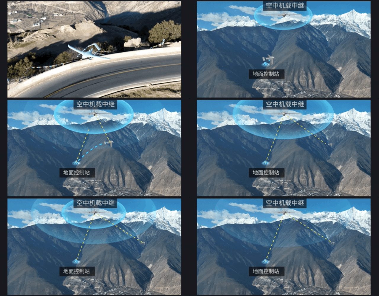
Ground-based station relay
Supporting both ground-based station relay and airborne relay solutions, V500R can function as a task aircraft for surveillance missions and as a relay node, addressing communication challenges caused by complex terrain obstruction in mountainous areas. This significantly extends the operational coverage radius for mission tasks.
