


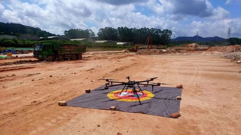
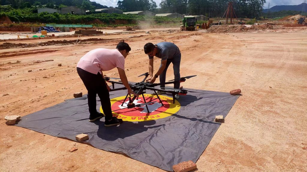
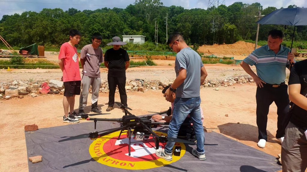
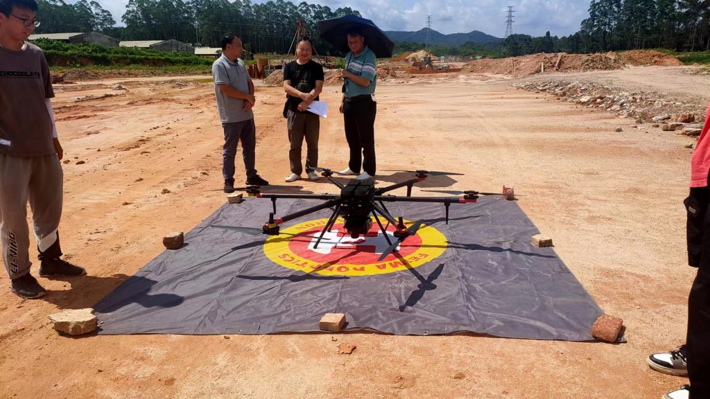
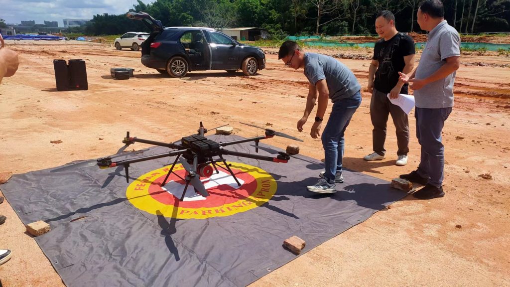
The Feima D20 is a cutting-edge surveying drone that combines advanced technology with precision mapping capabilities. Designed for professionals in the field of land surveying and mapping, this drone offers a range of features that make it an ideal tool for accurate and efficient data collection.
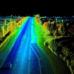
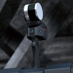
Equipped with high-resolution cameras and powerful sensors, the Feima D20 can capture detailed aerial imagery and create accurate 3D maps and models of the terrain. Its advanced GPS and navigation systems ensure precise positioning and flight stability, allowing it to cover large areas quickly and efficiently.
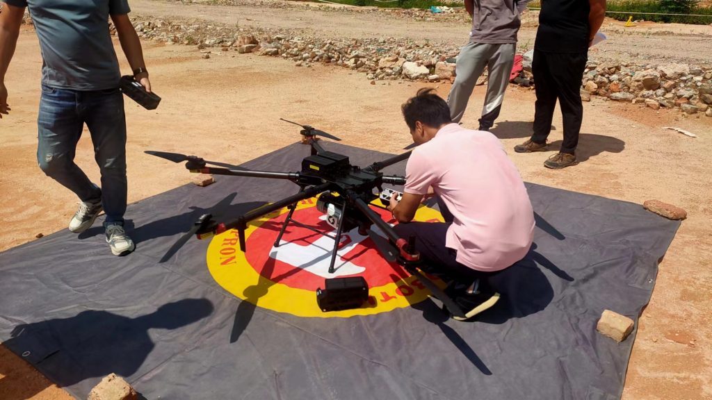
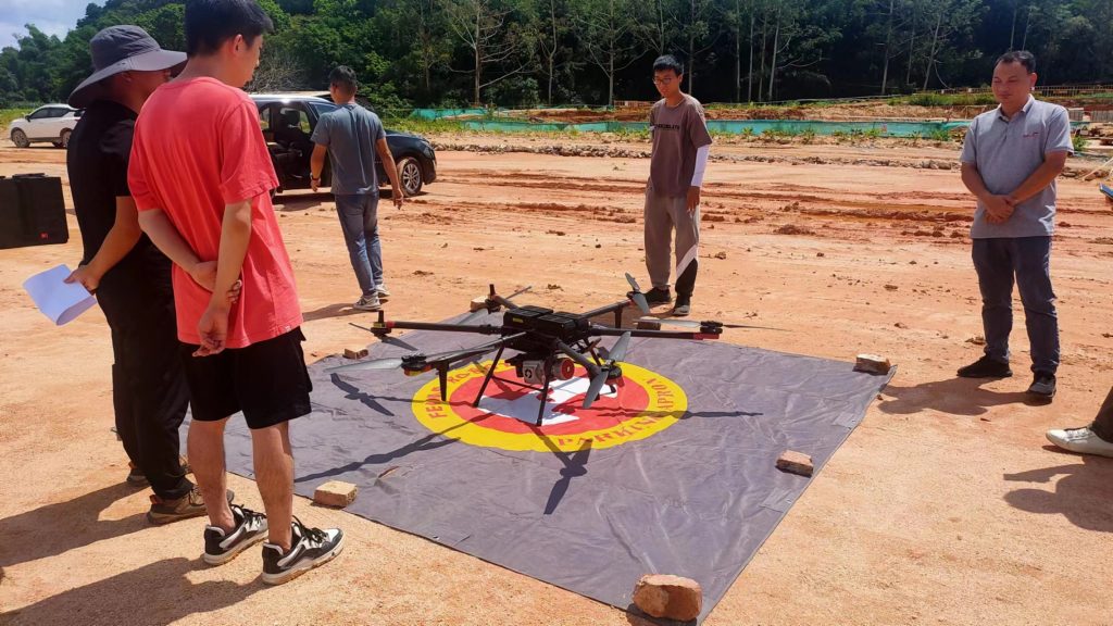
What sets the Feima D20 apart is its user-friendly interface and intelligent flight modes. With the help of its intuitive control system, users can easily plan and execute automated missions, making data collection a breeze. The drone’s autonomous flight capabilities, such as waypoint navigation and automatic return-to-home function, further enhance its usability and reliability.
In addition, the Feima D20 is built to withstand various environmental conditions. It is equipped with a durable and sturdy frame, capable of withstanding harsh weather conditions and rough landings. Its long battery life and quick charging capabilities ensure extended flight time, minimizing downtime and maximizing productivity.
Whether you are conducting land surveying, mapping, or any other geospatial applications, the Feima D20 is an exceptional choice. Its precise data collection capabilities, user-friendly interface, and rugged design make it a reliable and efficient tool for professionals in the field.
Contact us today to learn more about the Feima D20 surveying drone and how it can revolutionize your surveying and mapping projects.