


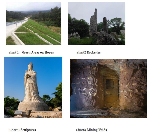
In engineering projects, it is often necessary to accurately measure the surface area and volume of objects. However, irregularly shaped objects, such as green areas on slopes, rockeries, sculptures, and mining voids, cannot be accurately measured using simple formulas. Some complex mathematical calculation methods, such as contour, finite element methods, and grid methods, are limited by the quality and quantity of measurement data, resulting in inaccurate and inconsistent surface area and volume measurements.
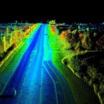
The development and application of handheld 3D laser scanners provide a new technical means for rich spatial information about objects. It can quickly and accurately obtain large-area, high-density spatial 3D data and is a non-contact active measurement system with high measurement point accuracy, large density of space points, and fast acquisition speed, overcoming the weaknesses of traditional measurement methods with low point density and efficiency.
Feima’s Solutions
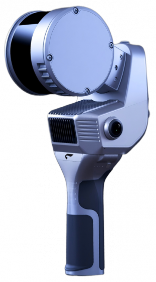
The Slam100 handheld laser scanner integrates laser Lidar and industrial-grade Slam algorithms, thus having the ability to quickly obtain complete point cloud data of large and complex scenes. When used with Geomagic Studio software developed by Geomagic, it can create accurate MESH models from point clouds quickly, ensuring users get perfect polygon models that can output various industry-standard format results.
Based on the MESH model, Cloudcompare also has the ability to calculate surface area and volume.
| SLAM100 Software for Calculating Irregular Object Volume and Surface Area | |
|---|---|
| Software | Functions |
| Slam go post | Point cloud calculation, optimization processing, panoramic stitching, colored point cloud |
| zhidiancloud | point denoising and clipping |
| Geomagic studio | automatically converts point cloud into polygons; reduces the number of polygons; quickly fills complex holes; constructs and outputs mesh models; calculates surface area and volume, etc. |
| Cloudcompare | constructs and outputs mesh models; calculates surface area and volume. |
The surface area and volume of an object can be calculated using Slam100 in three steps:
Step1~3(using slam 100):
- On-site surveyingdetermining scan paths 3.Data collection
Step4~6(using slam go post + zhidian Cloud):
- point cloud computation5. Checking the quality of the results 6.point cloud clipping
Step 7~9(Geomagic Studio)
- point cloud packaging8. repairing mesh models 9. surface area and volume calculations